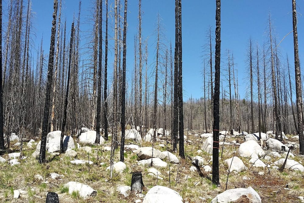
For years, national forestry figures have shown slow, steady declines in tree cover. New satellite analysis suggests the reality is more uneven, and in places much worse.
Researchers compared annual high-resolution images with official reports across 60 countries. In roughly a third, the satellites showed significantly more tree loss than reported, much of it in fragmented patches too small for older systems to detect.
The new data is already being used by conservation groups and by some governments to target enforcement. “You cannot protect what you cannot see,” said the lead author. “For the first time, we can see it.”